The National Cycle Network (NCN) covers 12,763 miles across the UK — but most commuters have never thought to check whether part of it runs near their workplace. Here is how the network works, what to expect when you ride it, and how to find the sections that are actually useful for getting to work.
What the National Cycle Network actually is
The NCN is a UK-wide network of signed routes for cycling, walking and wheeling. It is managed by Walk Wheel Cycle Trust, the organisation formerly known as Sustrans, which has been running it since 1977.
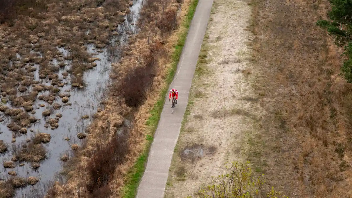
The total network spans 12,763 miles (20,540 km) of signed paths and on-road routes. Of those, 5,273 miles are traffic-free — shared paths, canal towpaths, old railway lines, and dedicated cycleways. The remaining 68% are on-road sections, and they vary considerably: some are quiet residential streets, others run along busy A and B roads (around 2,000 miles fall into that category).
This mix matters for commuters. The NCN is not a uniformly safe, traffic-free network. Whether a particular route works for your daily ride depends entirely on which sections you would actually use.
How to find NCN routes near you
The clearest starting point is the interactive map at sustrans.org.uk/map-ncn. You can browse by region, filter by route type (traffic-free vs on-road), and view individual numbered routes. Each route page includes a description, key waypoints, and surface notes.
If you already use Ordnance Survey mapping, you can view the full NCN overlay for free inside OS Maps (app and web). Walk Wheel Cycle Trust partnered with OS specifically to make this available without a premium subscription. This is particularly useful if you want to overlay NCN routes onto detailed topographic maps while planning a commute.
Once you have identified a candidate route or section, check it against your actual journey. Not every NCN route was designed with weekday commuting in mind — some long-distance routes pass through useful urban sections, but you may be joining mid-route rather than following it end to end.
Understanding NCN route numbers
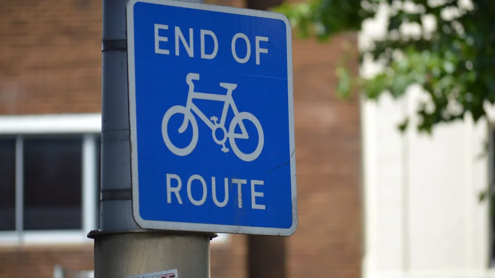
Every NCN route has a number, displayed on blue or green signed posts along the way. Long-distance routes (numbered 1–99 for national routes, local routes numbered from 1 in each region) can stretch hundreds of miles, but you do not need to ride them in full.
As an example, NCN Route 4 is a 433.6-mile route that starts at Greenwich in London and runs west to Fishguard in Wales. For a London commuter, the sections near Greenwich or through west London may be locally useful — even though the route as a whole is a long-distance cycle touring path.
When you use the Walk Wheel Cycle Trust map or OS Maps, look for the route number that passes near your workplace and home, then examine only the urban sections you would actually ride. A five-mile segment of a 400-mile route is still a five-mile segment of tarmac or towpath you can use every day.
What commuters should check before relying on an NCN route
Before using an NCN section as part of a regular commute, it is worth doing a quick reconnaissance ride at the weekend or in daylight. A few things to look for:
- Surface quality. Traffic-free paths range from smooth tarmac to rougher gravel. Narrow road tyres cope with tarmac and packed gravel; anything looser may slow you down or cause punctures on a road bike.
- On-road sections. If your route switches between traffic-free path and road, identify where those transitions happen and whether the on-road stretches are manageable in rush-hour traffic.
- Signage gaps. NCN signing is generally good, but urban sections sometimes have missing or damaged signs. Download the route to your phone before your first proper commute rather than relying on signs alone.
- Lighting. Traffic-free paths are often unlit. In autumn and winter, a section that feels safe in summer daylight can be completely dark at 07:00. Good bike lights are not optional on unlit paths.
Using the NCN alongside a cycle route planner
The NCN map is good for discovering which signed routes exist near you. For day-to-day route planning and turn-by-turn navigation, it works best alongside a dedicated app. If you want a comparison of the main UK cycle routing apps — CycleStreets, Komoot, Strava Routes and Google Maps — our cycle route planner guide covers the differences in plain language.
In practice, many commuters use CycleStreets or Komoot to plan their route, then notice that the suggested path follows an NCN route for part of the journey. The two sources of information complement each other: the NCN tells you what is signed and maintained; the routing app tells you how to get from your front door to your office.
The NCN and the cycle to work scheme
If the NCN reveals that there is a usable commuting route between your home and workplace, that is exactly the kind of thing that makes a cycle commute feel achievable enough to commit to — and potentially to use the Cycle to Work scheme to buy a bike for it. The scheme lets most employees spread the cost of a bike through salary sacrifice, saving on both income tax and National Insurance contributions. Our commute cost calculator can help you work out the actual financial difference between cycling and driving or using public transport over a year.
Frequently asked questions
What is the National Cycle Network?
The NCN is a UK-wide network of signed walking and cycling routes spanning 12,763 miles (20,540 km), managed by Walk Wheel Cycle Trust (formerly Sustrans). Of these, 5,273 miles are traffic-free. The rest are on-road sections of varying quality.
How do I find NCN routes near me?
Use the interactive map at sustrans.org.uk/map-ncn, or view the NCN layer for free inside OS Maps. Both let you browse by location and filter by route type.
Are NCN routes safe for daily commuting?
Traffic-free sections (around 5,273 miles) are generally safe for commuters. On-road sections vary — some use quiet streets; others pass along busy A and B roads. Preview your specific section before committing to it as a daily route.
Do NCN routes go through cities and towns?
Yes. Many numbered routes pass through urban areas. NCN Route 4, for instance, starts at Greenwich in London. Walk Wheel Cycle Trust’s map lets you filter by location to find urban sections near your home or workplace.